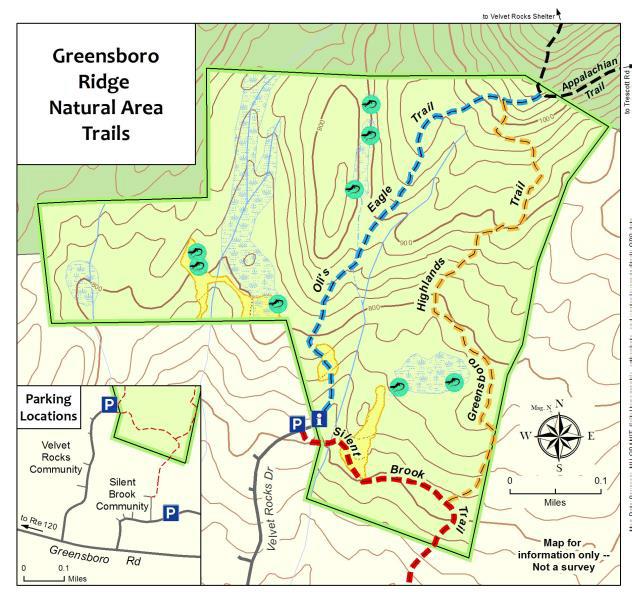
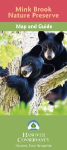
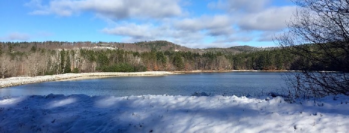
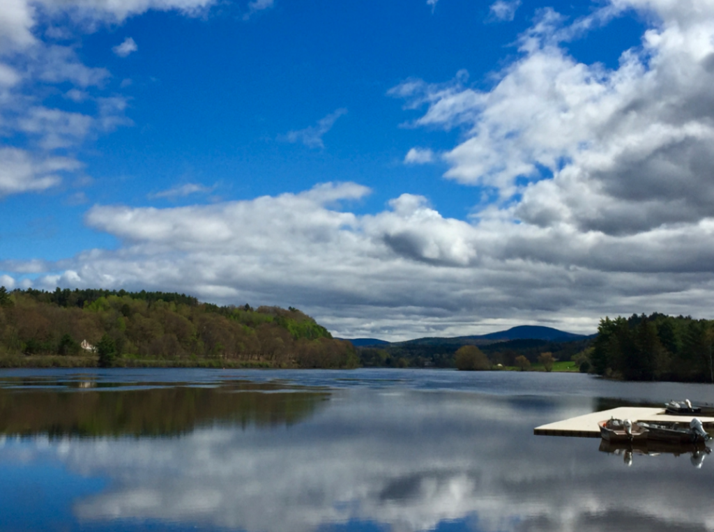
This 112-acre preserve protects habitat for wild brook trout, bears, and many other creatures, while offering trails and quiet enjoyment of a peaceful place. This preserve is the result of deep generosity and community spirit. Substantial gifts from Dartmouth College and Brian and Allie Quinn, acknowledging the significance of this place to the Abenaki, joined 450 other gifts to protect the land in 1999. The Upper Valley Land Trust collaborated with our organization to purchase the land and now holds the conservation easement. The preserve links other protected lands — the Angelo Tanzi Tract and Mink Brook West, owned by the Town of Hanover, and UVLT’s brook-side parcel.
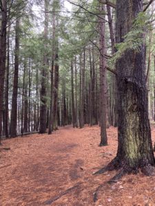
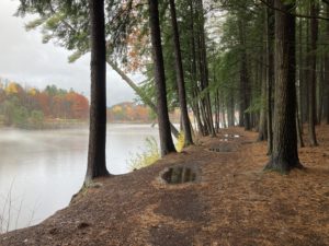
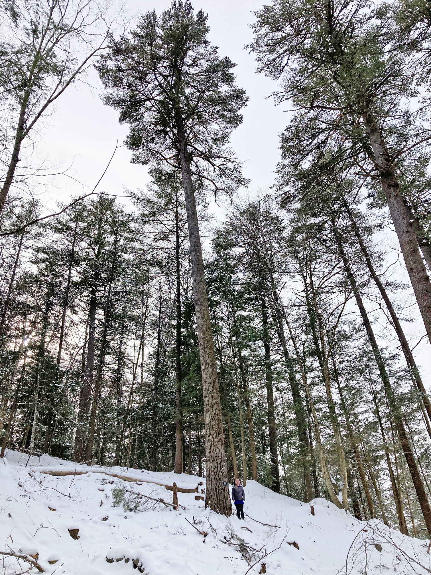
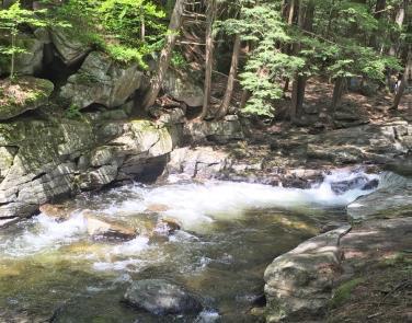
Mink Brook Nature Preserve offers a natural retreat just south of downtown Hanover. The predominant natural community is upland forest composed of white pine and hemlock. The smaller of the preserve’s two streams is Trout Brook, which winds northward to join Mink Brook. Mink Brook is a direct tributary to the Connecticut River and is affected by Wilder Dam’s activity up until just downstream of the log crossing. Many of the paths within the Preserve parallel Mink Brook and pass by pool and riffle areas of this dynamic boulder filled watercourse. The preserve has a fascinating history, and hosts black bears, wild brook trout, waterfowl, and other wildlife- not to mention a highly interesting plant community!
How to get there
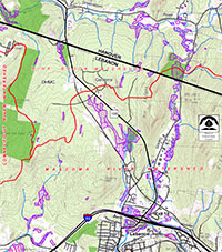
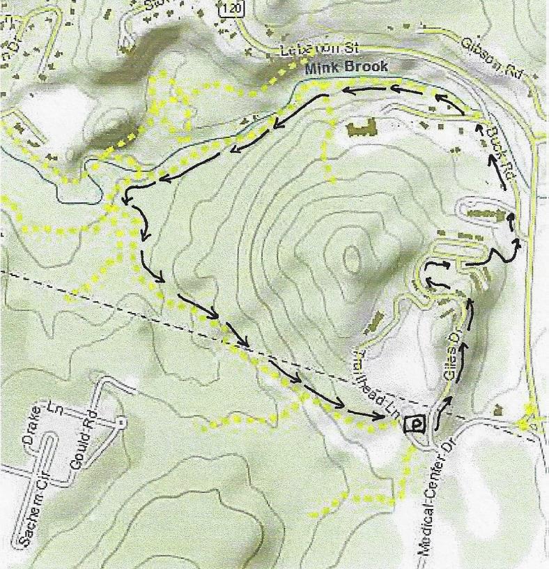
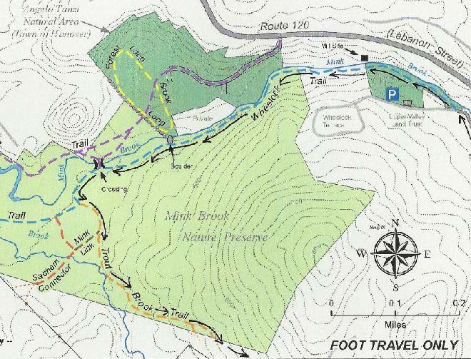
From Route 10 in Hanover, turn onto Brook Road just north of the bridge over Mink Brook. Parking is available in the pulloff by the trailhead on Brook Road. Walk through the gate to the kiosk just up the path.
Parking is also available at the Upper Valley Land Trust office at 19 Buck Road. Walk back along Buck Road towards Route 120; the trailhead is at the sharp corner in Buck Road, and is clearly marked.
The property offers a variety of walking terrain. The easy terrain of Quinn Trail is accessible to both strollers and wheelchairs and links up with the trails in the Tanzi Tract, a preserve of the Town of Hanover. Just across Route 10, the Town-owned River Trail continues as a fully ADA-accessible path to the Connecticut River. On the south side of Mink Brook, wooded hiking trails link up with trails to preserved land in Lebanon.
The preserve is open to the public for foot travel at all seasons. Please help protect water quality in Mink Brook by picking up after your pet and removing the waste. Pets must be under the direct control of their owners and not chase wildlife. Plants should be left growing in place. Fishing is permitted, as is bow hunting south of the brook (in season and accordance with state and local law). All other hunting and trapping is prohibited. No fires or camping, please.
Why no bikes? – To protect an area significant to Native Americans and to maintain wildlife habitat and water quality, Mink Brook Nature Preserve was created with the understanding that trails would be open only for foot travel. A bicycle rack is provided at the Brook Road gate.
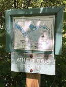
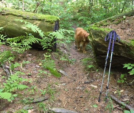
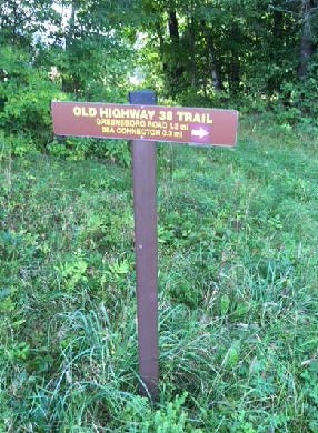
About the trails – The Quinn Trail runs along the north side of the brook and connects trails west of Route 10 with Route 120. Grades are gentle with a few moderate slopes. Across the log bridge, the Wheelock Trail heads east to Buck Road on a sometimes narrow, rocky path, and west to Route 10. The red-blazed Indian Ridge Trail and orange-blazed Sachem Connector Trail lead south into Lebanon and can be difficult to follow after leaving the preserve. In 2011, we worked with the Town to create a new footpath linking trails on the west side of Route 10 with the Quinn Trail on the Preserve. Find this link near the corner of Brook Road and Route 10, just east of the small utility building.
Robert Z. Norman
Founder, former president, volunteer, visionary
When Hanover adopted its first town-wide master plan and zoning ordinance in 1961, it omitted a greenbelt proposed around the town’s most developed area. That very day, a few concerned citizens – Bob Norman, Carolyn Tenney, George Wrightson, Ted Hunter, and Jean Hennessey – met to form a group to see what could be done to protect those places. They were back the next year with a ballot petition for a new zone, Natural Preserve, which was readily approved by Town Meeting and now covers Pine Park and other lands later protected. This group incorporated as the Hanover Conservation Council and went on to advocate for a town conservation commission in 1966. Bob and the Council led the effort to protect key lands in Hanover – the Tanzi Tract, Balch Hill, South Esker, Connecticut River/Mink Brook confluence and more – and also in nearby towns. These included Lyme’s Wilder Wildlife Management Area, a Plainfield wildflower sanctuary, and the Grafton Pond Reservation. The Council also initiated a program of bird walks and nature hikes, helped with trail creation and maps, and helped integrate environmental education into the school science curriculum. All continue today through the Hanover Conservancy.
Bob served the Council as Secretary (1964), President (1970-75 and 1996-99), Treasurer (1975-96), and was honored as Emeritus Board Member when he stepped down in 2009. He continues as a wise and valued member of our Lands Committee. Bob received the Nan King Award for Service to the Community at the 2001 Hanover Town Meeting.
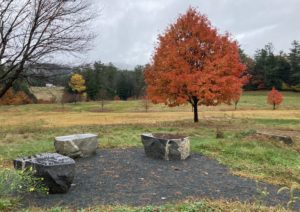
Norman Overlook at Mink Brook
In 1999, Bob led the Council’s effort to protect the 112-acre Mink Brook Nature Preserve, then slated to become a 32-lot subdivision. In 2019, the 20th anniversary of that daunting and ultimately successful project, the Conservancy dedicated the Norman Overlook to Bob and his vision for our community. The Overlook is along the Quinn Trail and looks over Mink Brook.
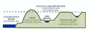
Hanover’s Largest Watershed
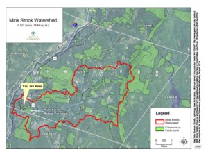
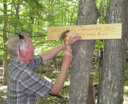
Mink Brook drains Hanover’s largest watershed, where the brook gathers the flow from 18 1/2 square miles. Rain and snow falling on the west slopes of Moose Mountain, the Etna valley, and Greensboro area flow through Mink Brook through the preserve to the Connecticut River. Today, much of the watershed is forested, including the preserve, but it was not always so.
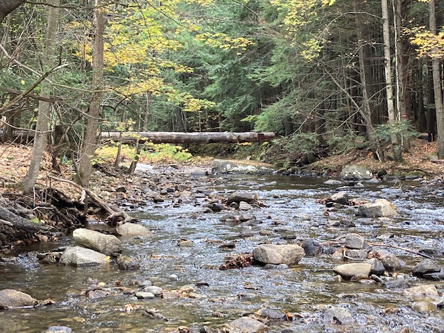
Spectacular Mink Brook Crossing
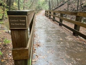
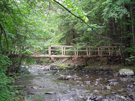 For years, this dramatic single-log suspension bridge connected the Quinn Trail with the trails on the southern portion of the property, including trails to Buck Road in Hanover, and Lebanon’s Sachem Village and Indian Ridge. It is this crossing that is to be replaced with a new log from Oak Hill, with added safety features.
The Mink Brook Nature Preserve, along with nearby smaller parcels owned by the Town of Hanover and the Upper Valley Land Trust, share a common history with roots reaching back to the earliest days of Hanover and Dartmouth College. Royal Governor Benning Wentworth reserved 500 acres for himself when he chartered the Town of Hanover on July 4, 1761, including these lands. The offer of these lands (along with nearby acreage in both Hanover and Lebanon) later persuaded Rev. Dr. Eleazar Wheelock to choose Hanover as the site for Dartmouth College.
In the next century, the Benton family (1840 brick homestead still standing nearby) farmed the land, and it later became part of the Stone family dairy farm until 1949, when the Barrett, Ransmeier, and Granger families purchased the land. MORE
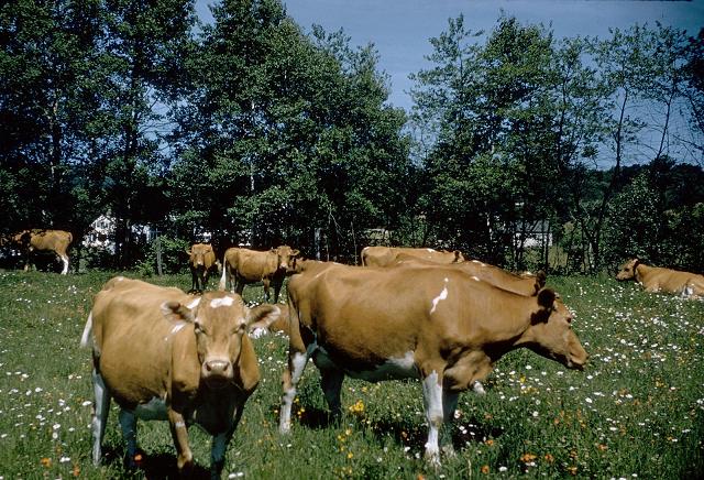
At left: Fullington’s prized Guernsey cows grazing along Mink Brook (Photo by Frank J. Barrett)
The Fullingtons – owners of the Dartmouth Dairy – pastured about 40 heifers each summer on the Barretts’ pastures along Mink Brook during the 1950s.
Explore the Mink Brook Nature Preserve through the imaginative treasure hunt that is the Mink Brook Quest, created by the ValleyQuest program of Vital Communities. Bring along a compass and field guide to help you solve the clues.
Find the geo-cache!
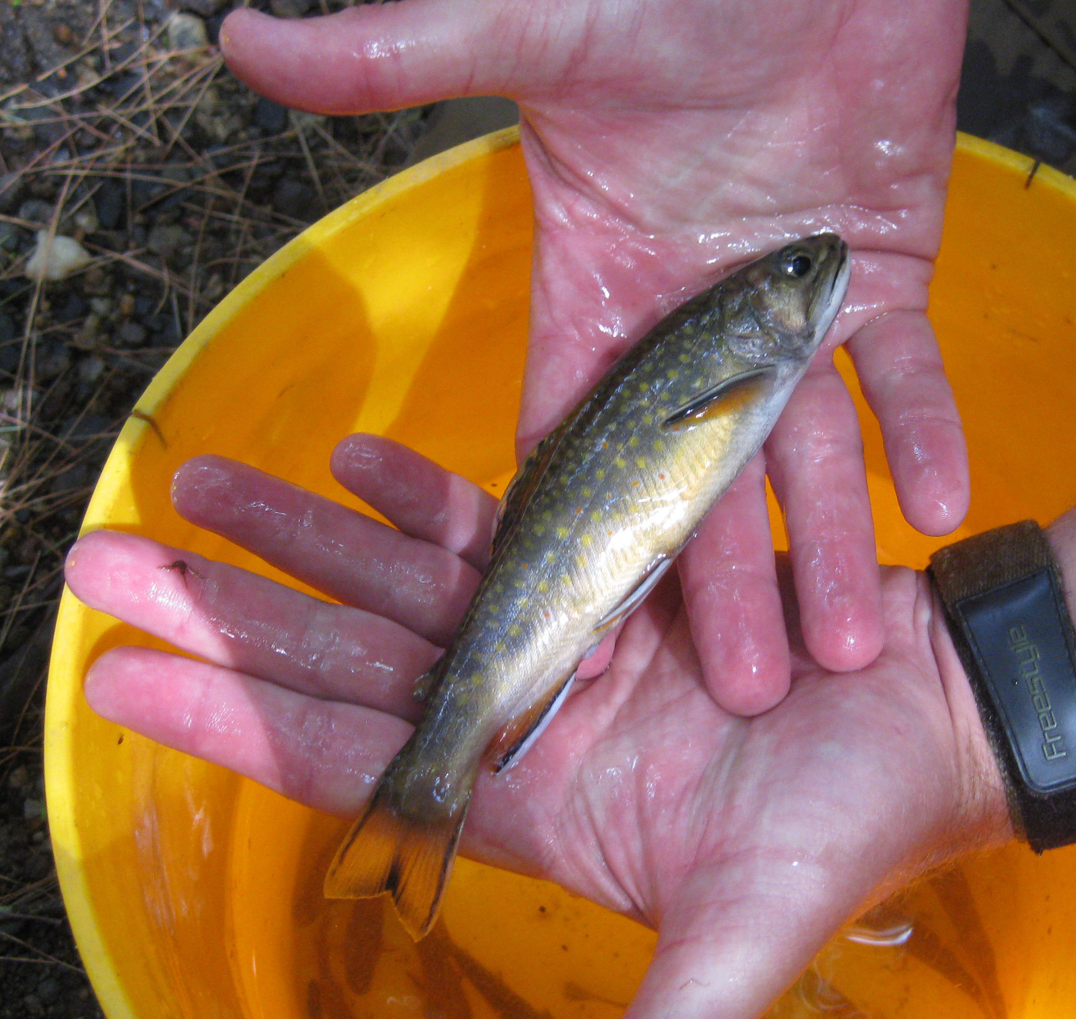
Fishing is permitted within the preserve; catch & release is encouraged. The Mink Brook watershed, Hanover’s largest, harbors healthy populations of wild brook trout, even in some of its smallest tributaries. Fisheries biologists from New Hampshire’s Fish and Game Department, working with volunteers from Trout Unlimited, the Conservancy’s Mink Brook Stewardship Committee, and Hanover students conducted a thorough study of the Mink Brook watershed in July, 2011.
The study was part of the Eastern Brook Trout Joint Venture, a region-wide effort looking at habitat for wild brook trout. At Mink Brook, biologists examined details of each section’s habitat characteristics, measured water temperature, and recorded the length, weight, and species of each fish captured. Fish were “borrowed” from the water by electro-fishing – a wand sending a weak electric current through the water temporarily stuns the fish, which can then be scooped up with a net and transferred to a bucket for study. All fish were returned to the brook after their brief examination.
Mink Brook is among the streams under study by Dartmouth for survival of young Atlantic salmon, and a number of young salmon turned up in the 2011 survey.
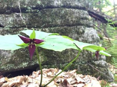
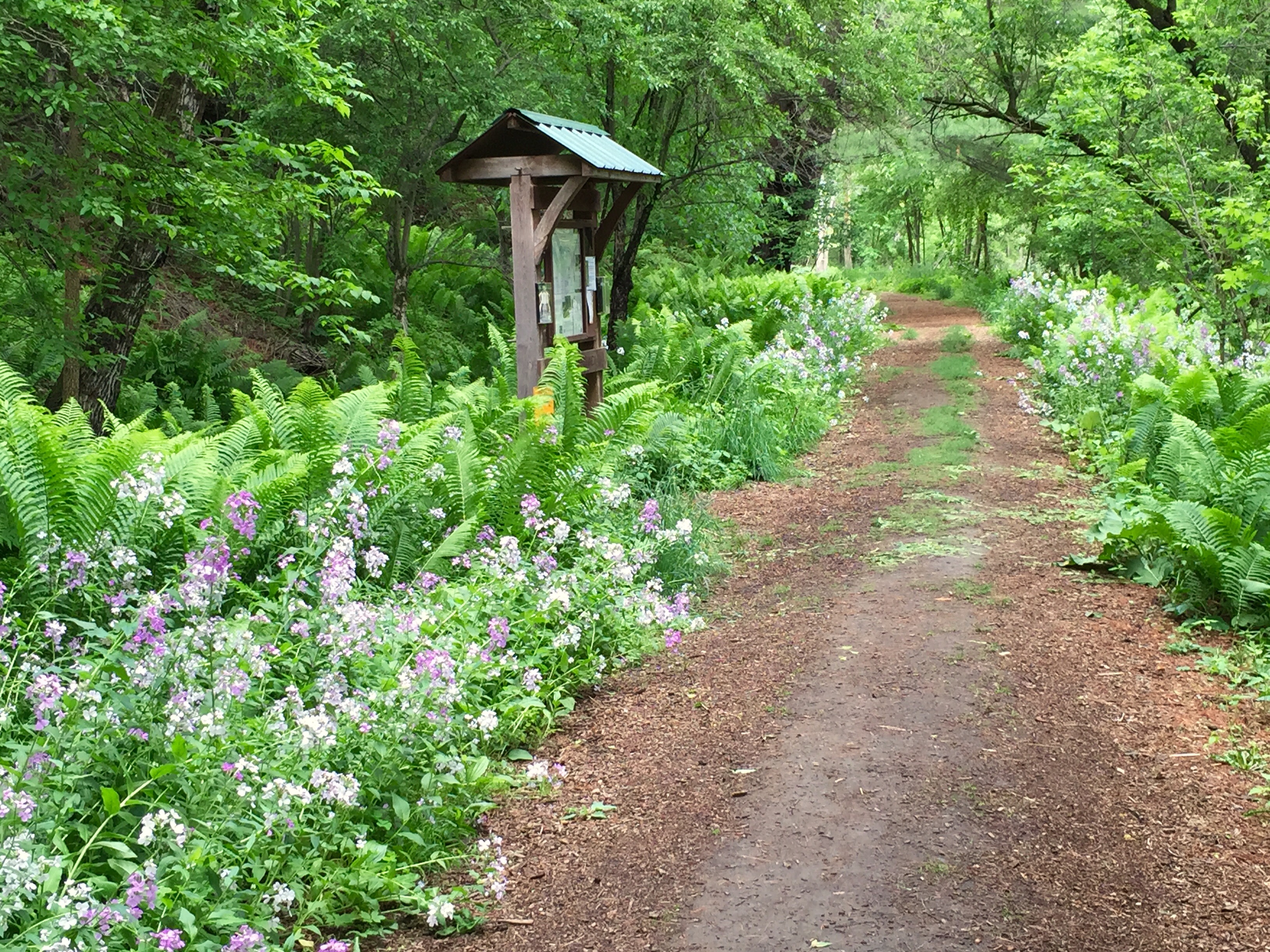
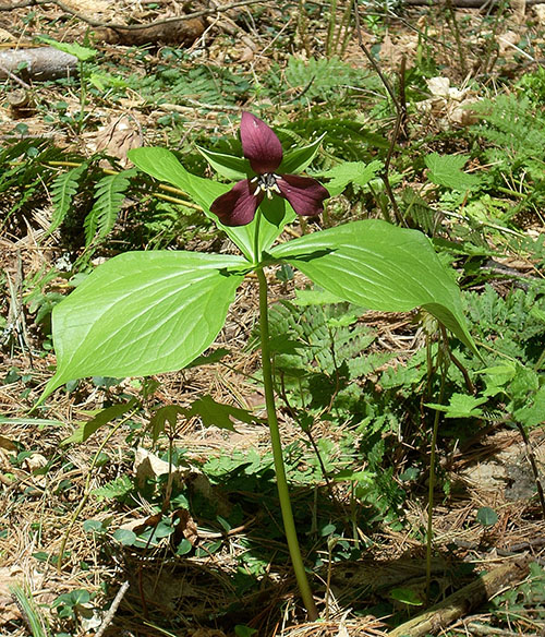
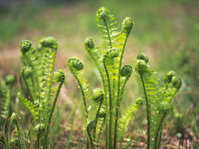
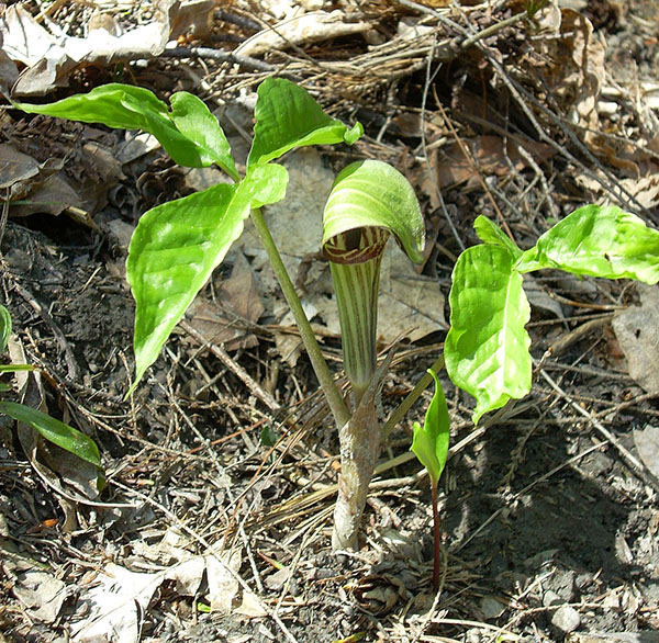
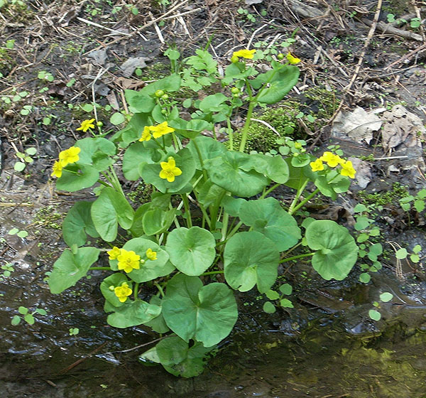
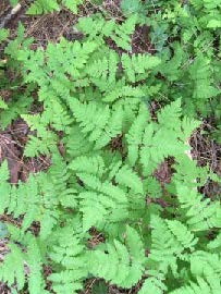
Mink Brook Nature Preserve is a popular destination to see wildflowers and ferns. More than 130 species of native herbaceous plants grow on the Preserve, including 20 species of ferns. Red trillium, jack-in-the-pulpit, trout lily and phlox are just a few of the many species you can see here. Whether you’re an experienced botanist, learning to identify local flowers or just want to enjoy some beautiful spots, please join us for our annual Mother’s Day wildflower walk!
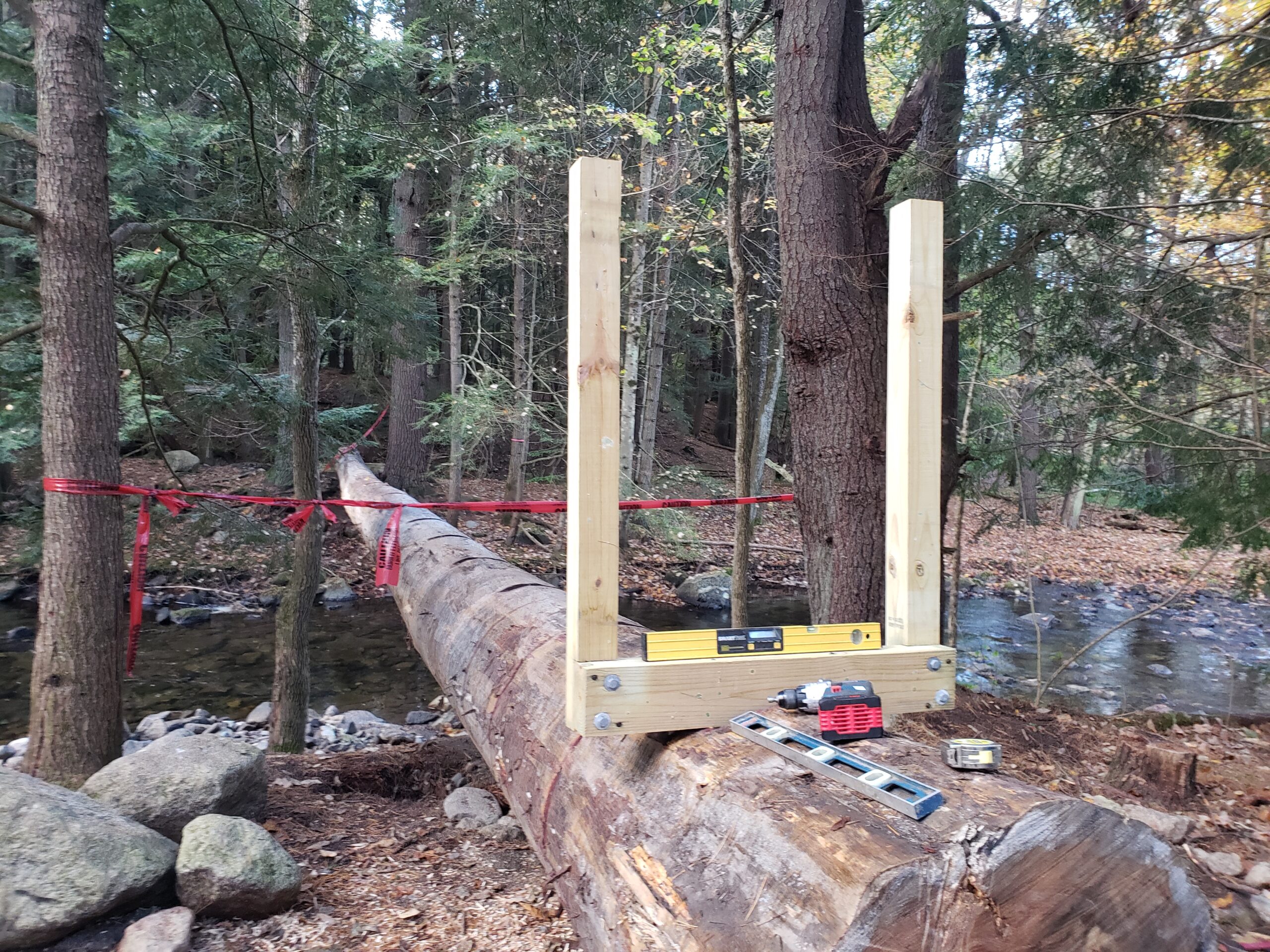
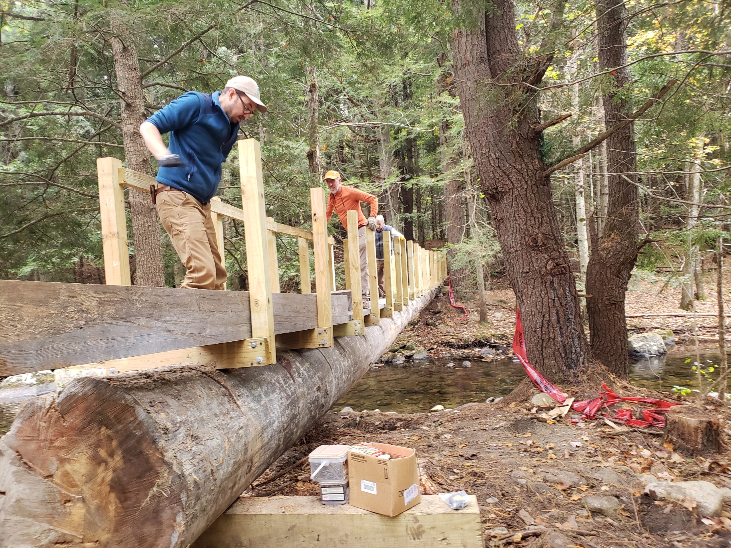
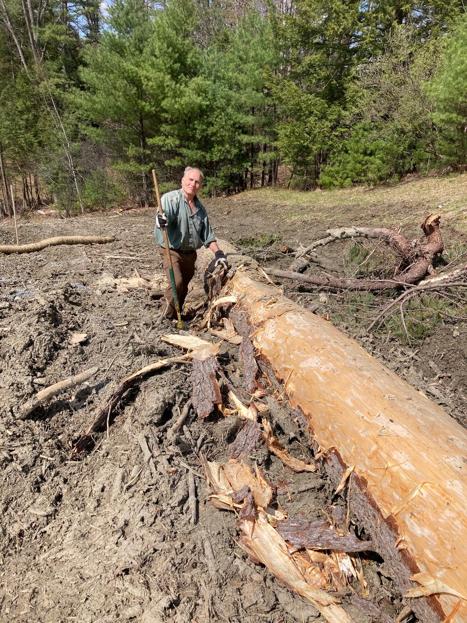
UPDATE 11/1/2023: The finishing touch is being applied today – cedar handrails from a mill in central Vermont. On October 10, an expert crew from Chippers drew out the old log (which proved just as rotten as we’d feared) in a matter of half an hour, and drew the new log deftly into place. (Right: the log heads down the Quinn Trail) This process took about 3 hours and involved cables strung high in trees on the south side of the brook and hand cranking of cables from the north side. (Below – the log moves 3/4 way across the stream). The new log fit perfectly as planned. Amazingly, this process required the sacrifice of only one tree, a small yellow birch. Basket ash trees in the area were flagged in advance for their protection.
Our volunteer crew, led by board member emeritus Hugh Mellert, attached wooden decking (to prolong the life of the log) and sturdy handrails to ensure the safety of those crossing the brook.
Three imperatives guide the project: protecting the ecological integrity of Mink Brook and its banks, safety for everyone who walks the trails at the Preserve, and of course, respect for the Native community.
We had hoped that the more sound sections of the old log could be repurposed as benches with backs made from the old handrails, but the entire log was utterly rotten.
Soft soils from drenching rains all summer long delayed moving the log in to the Preserve. The heavy equipment needed to maneuver the log would otherwise damage both the trail to the crossing site and the small area of private land just west of it.
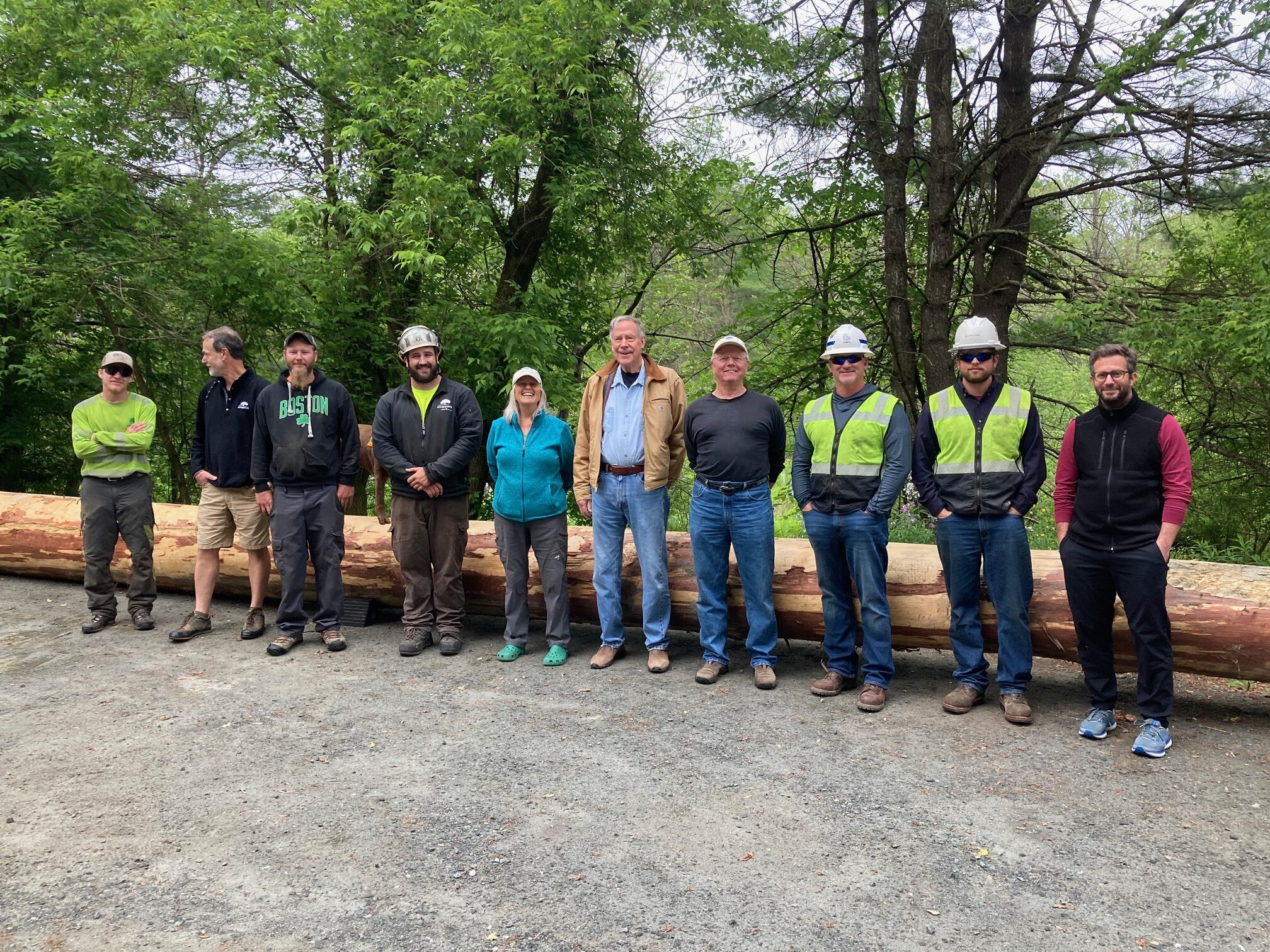
The Pine Parade made its way in June from Oak Hill through downtown Hanover to the gate at Brook Road, where it was gently deposited by an expert Chippers crew. The Upper Valley Trails Alliance, a regular Conservancy partner, will be on hand as work proceeds to add handrails and other safety features. [Click here for Ezra McGinley-Smith’s aerial pursuit of the log as it moved down E. Wheelock Street to Main Street, and headed to the Preserve].

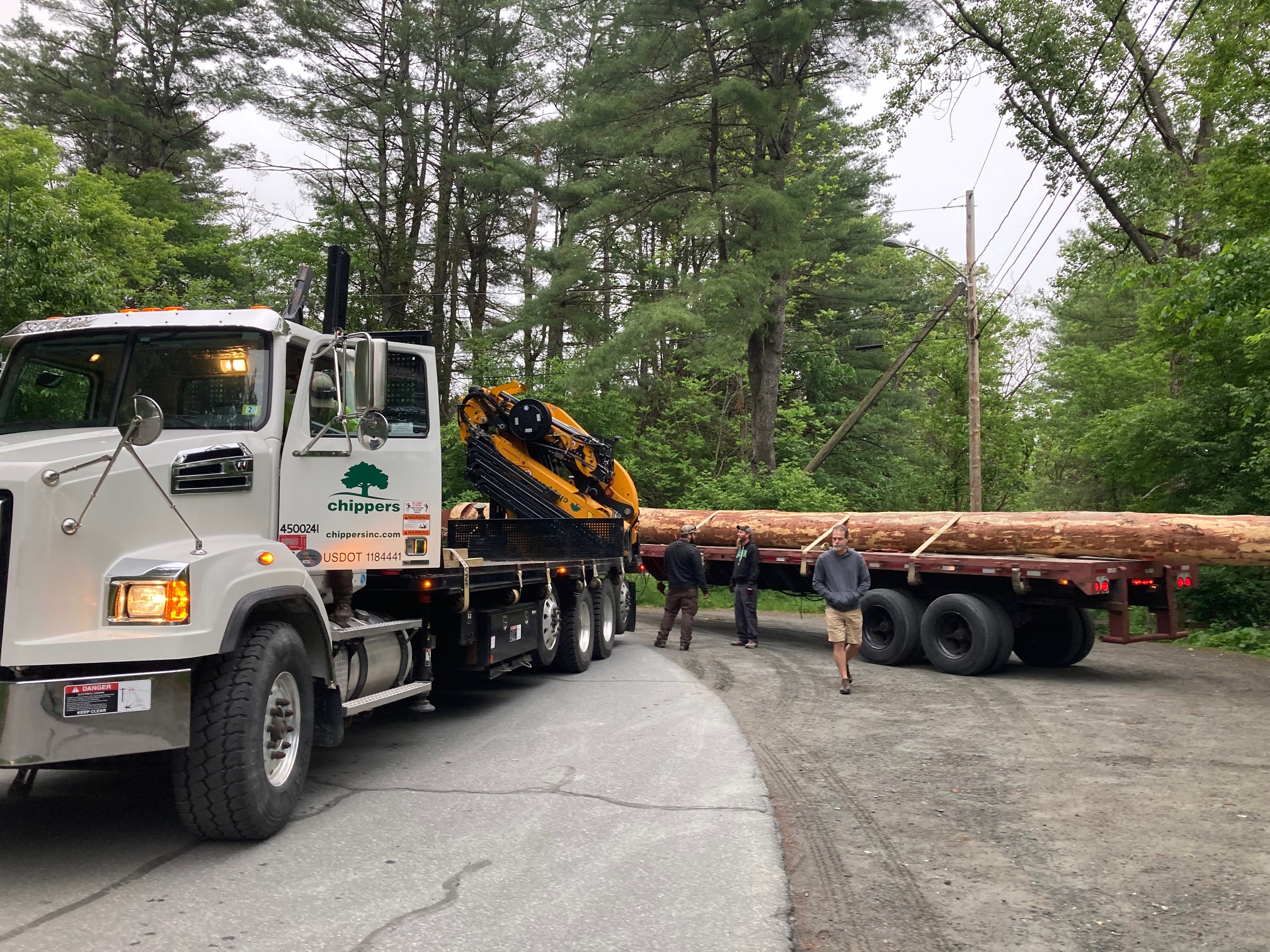
Many hands (and impressive rigs) helped draw the log through town. Royal Trail Works loaded the log onto Lawson Crane & Rigging’s fully extended flatbed truck, where it trailed 18 feet off the back. Liberty Utilities led the parade up Reservoir Road to Grasse Road, down East Wheelock Street to Main Street, and on to Brook Road. Hanover’s finest (thank you, police department!) facilitated the turn by the Hanover Inn, and no tables in front of Main Street eateries were overturned. Chippers’ extension crane crew expertly strapped and lifted the log off the Lawson truck and set it down by the gate as if it were a toothpick, working cleverly around inconveniently located utility lines. A gaggle of onlookers cheered and photographed every move. The last time a log of this size moved through this area, King George was in the driver’s seat. Here are a few vital statistics for the Oak Hill log: 10,000 pounds (5 tons), 77 feet long, three feet (exactly 36″) in diameter and 9′ 2″ in circumference at the butt end, and 19″ diameter and 4’10” in circumference at the taper end.
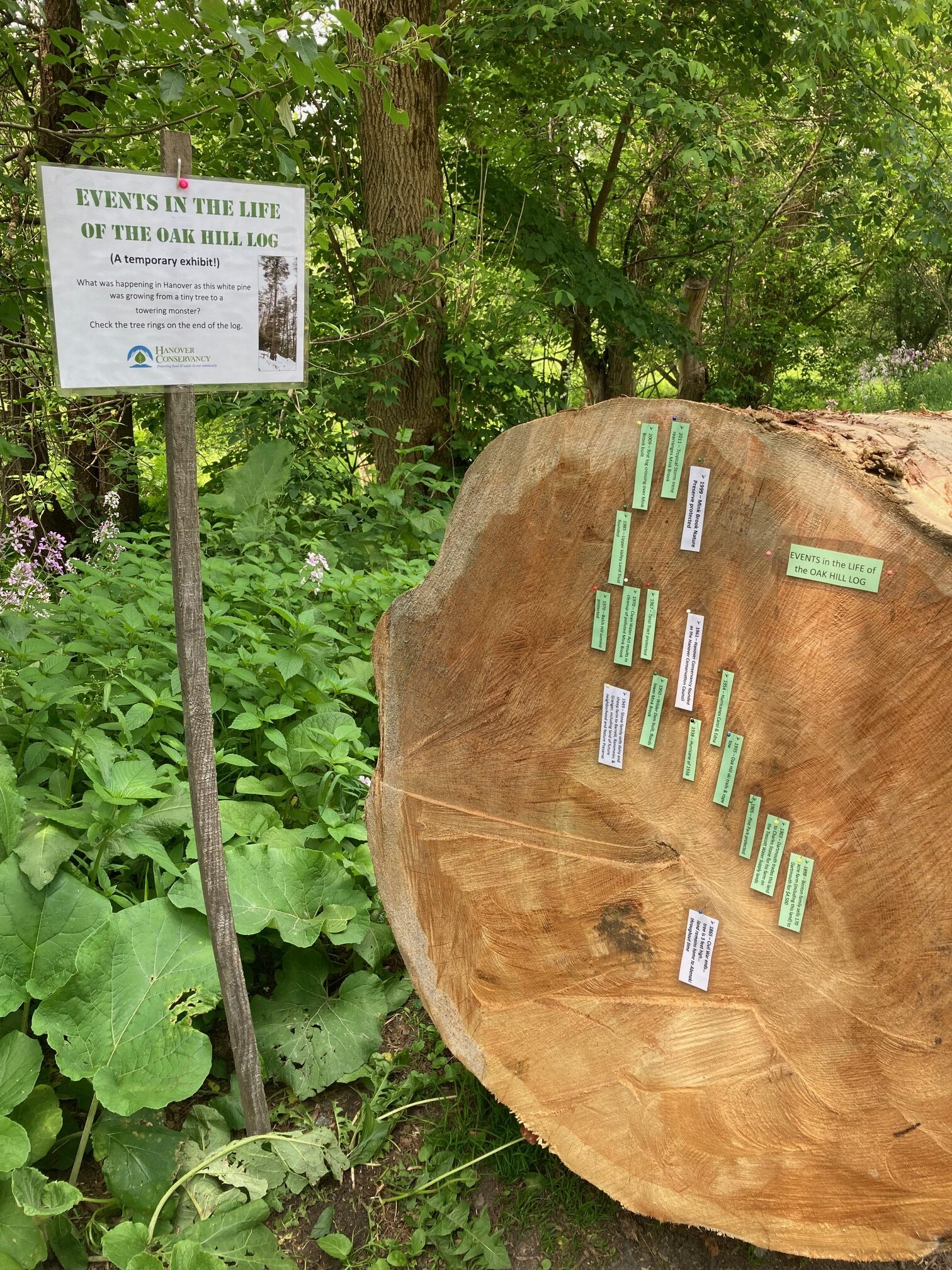
Time Travel Through Tree Rings: While the log awaited its move into the Preserve, it bore a display of local events this tree witnessed during its life. A close look at the annual growth rings shows that the tree was approximately 160 years old when it met the saw. The tree shows a marked growth spurt soon after the 1938 Hurricane. Not long after, New Hampshire was hit by two hurricanes: Carol with 100 mph winds, and 12 days later, Edna with 60mph winds. It looks like our tree’s neighbors may have fallen in these storms, allowing this one to reach into the opened canopy.
We welcome contributions to the cost of the new crossing. Thanks to all of our partners who have helped the Hanover Conservancy restore our log bridge and provide a safe way to cross the stream.
Dartmouth generously donated the tall, sturdy tree that was in the path of ski trail improvements at Oak Hill – a welcome gift that followed the college’s major contribution that saved the 112-acre Preserve from becoming a 32-lot subdivision in 1999. Why a white pine from Oak Hill? Given the recent history of the Preserve as farmland, it isn’t surprising that the trees growing there today aren’t yet tall and strong enough to provide a safe crossing over the Hurricane Irene-widened channel, so we had to look elsewhere to replace the log. To our surprise, a call to our foresters soon revealed the big tree that was slated to come down within weeks, conveniently close to the log landing. The project led by Friends of Oak Hill will result in a new, community-pleasing role for this tree now that its shade-giving, carbon-storing, bird-harboring days are done. Thanks to Forester Jeff Smith at Upper Valley Forestry for identifying the tree.
Throughout the quarter century we have held and managed the Mink Brook Nature Preserve, we have been mindful of its significance to the Abenaki and understand that this, like other places we have protected, is unceded land. Throughout the process of determining how to restore a safe crossing of the brook, we have sought out and conferred with Native voices, with many hours in consultation about how we might move forward in a respectful way. It is our goal to steward the lands in our care in a way that is both consistent with Native values and helps our community appreciate these places.
Related Articles
| Mink Brook log crossing repair | April 17, 2023 |
| Mink Brook Log Crossing Update | August 1, 2022 |
| Mink Brook & Tanzi Tract | September 10, 2021 |
 A few paces beyond the turn, look for the Wheelock Trail just before a fire hydrant.
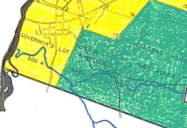
 Driving Directions
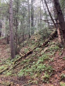
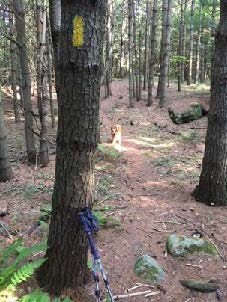 Don’t be dismayed by the steep path that suddenly appears– the rest of the hike is gentle and rolling. Follow the yellow blazes into the woods.
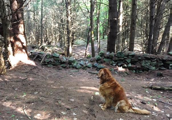
 When leaves are off the trees, you can also see the Adams Farm house, a late 18th/early 19th century white cape with a single chimney. This was home to the family that once owned the farmland you are exploring today. Hudson purchased land that included the Adams barn – and then burned it down.