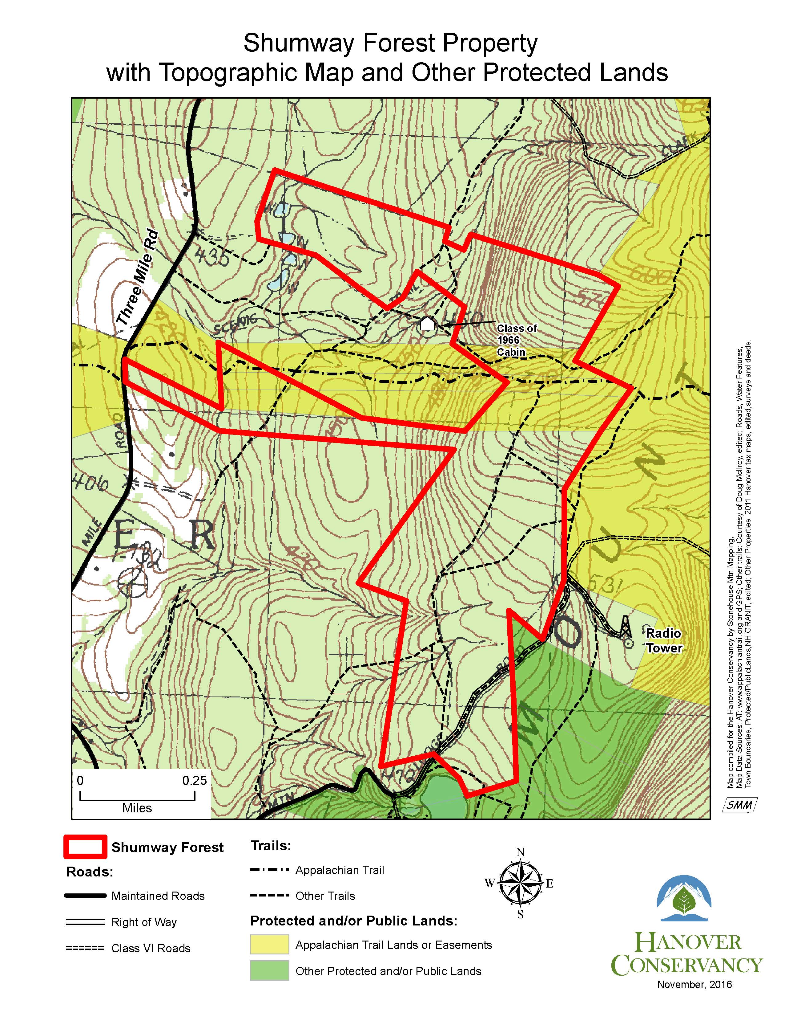
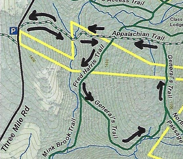
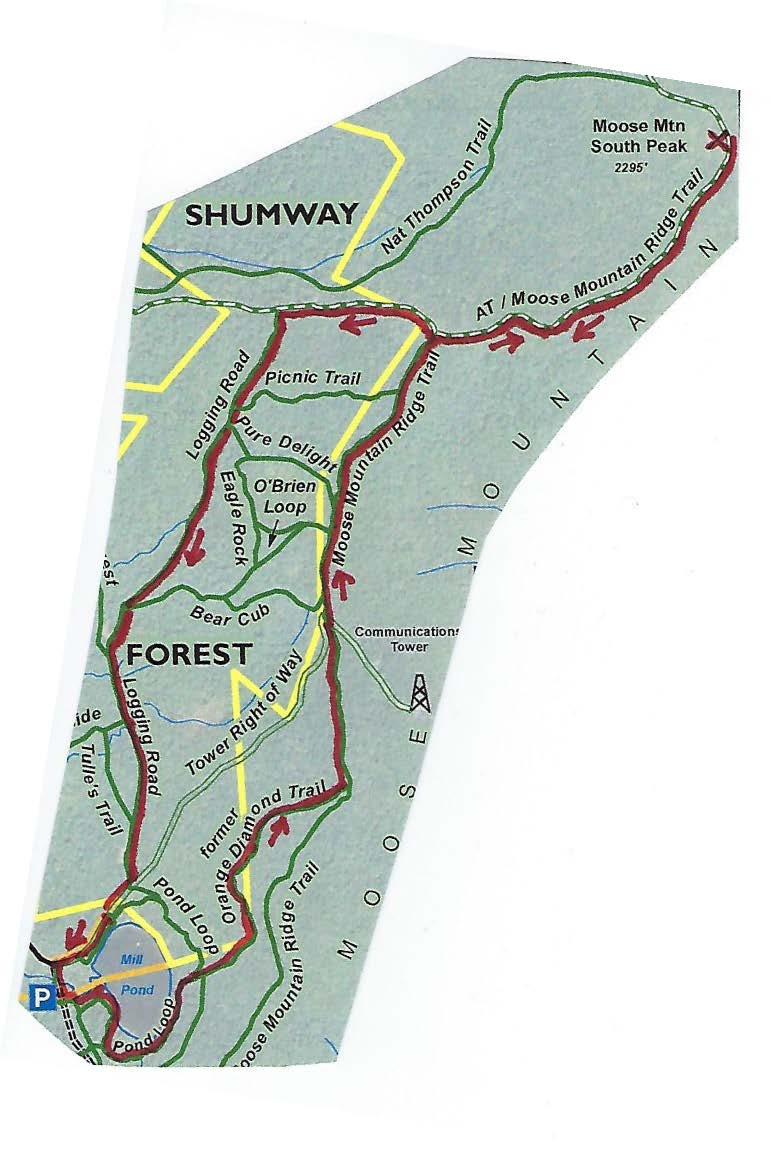
We are working with the landowners and the Town’s Trails Committee to focus use and maintenance on the best connections and close some lesser-used, duplicate trails. Volunteer-led trail work made great strides in Fall, 2021 and will resume in Spring, 2022. We’ve updated our map to show new routes and those no longer open on the central and southern part of the mountain. We hope this helps while you’re out on the trails this winter!
Download the Winter 2022 interim trail map here
Please note that these trails are maintained by volunteers. While some trails traverse lands managed by the Hanover Conservation Commission or protected by the Hanover Conservancy, many paths cross privately-owned lands that are not conserved. Please do your part to keep these trails open by respecting these generous landowners and treating their property as you would your own.
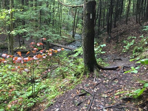
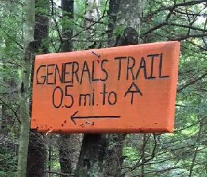
 The trail initially has the look of an old woods road but soon narrows, offering gentle and comfortable hiking, unlike the often rooty and rocky AT. This trail was built in the early 1990s by a former owner of this property with the help of his boy scout troop. Why the “General’s Trail?” For a quarter century, it’s been the favorite daily hike of a neighbor who retired from the Air Force Reserve as a two-star general. When his friends and neighbors Peter and Kay Shumway met him often on the trail, they decided to name it for him on their Moose Mountain Lodge trail map. Recently, his daughter asked the Dartmouth Outing Club to make the orange signs as a special birthday gift.


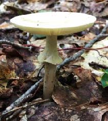


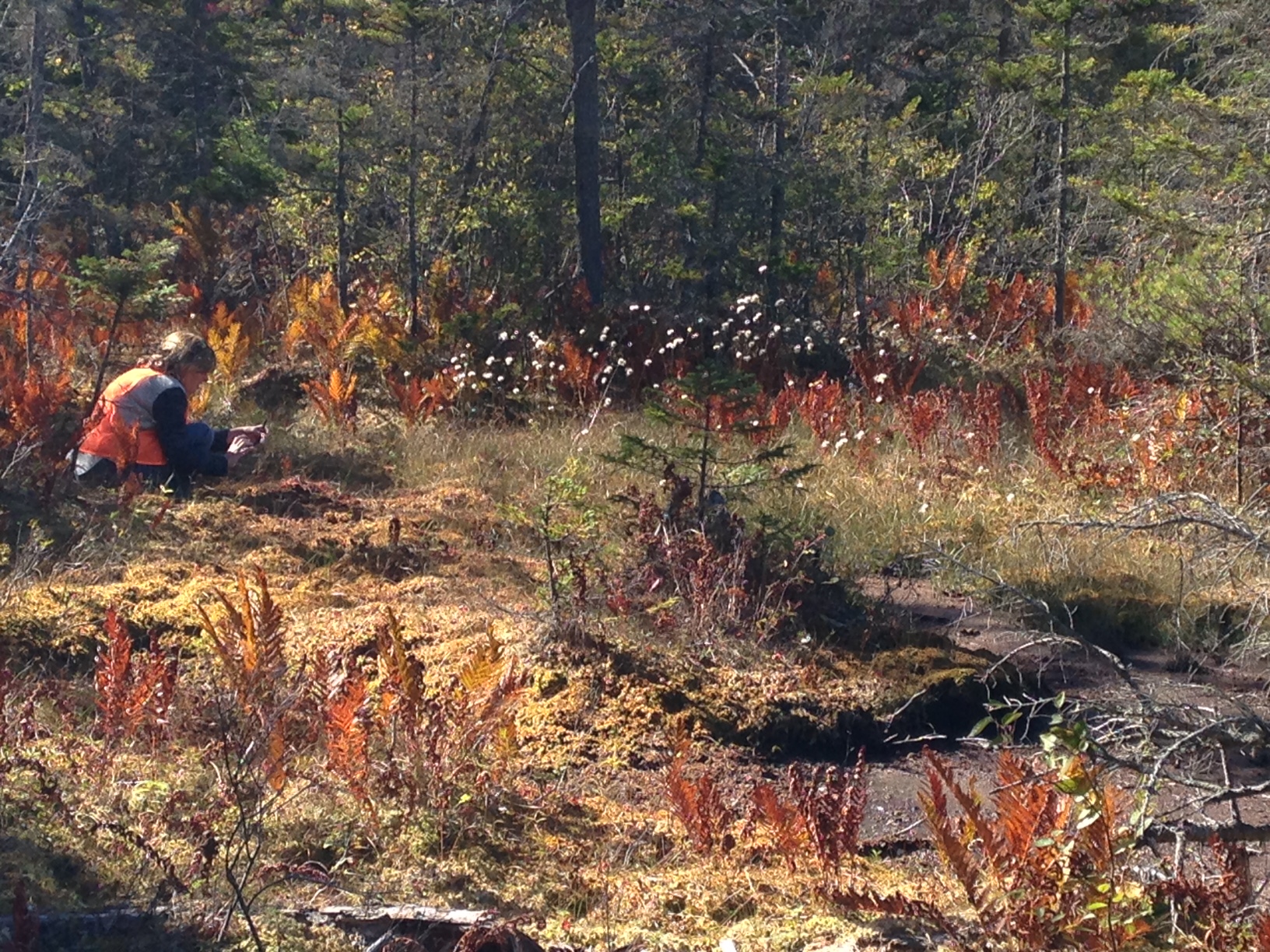
 The trail continues gently back up to a matching plateau on the east side. Deer trails cross and you may find leftovers from a red squirrel’s dinner in a pile of pine cone scales or acorn tops. The forest is different here – less pine, more hardwood – belying a different history. Could this have been Luther’s woodlot?
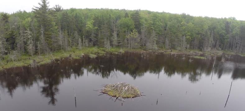
 Directly across from the bench is an impressive beaver lodge. Scan the pond’s surface for waterfowl and other birds. You might be welcomed by the slap of a beaver’s tail.
 20 minutes from the tower road, arrive at the Appalachian Trail. An orange Dartmouth Outing Club sign rests on the ground by a tree, pointing the way to the South Peak. Here, you can turn R to head to Mt. Katahdin in Maine. Turn left for Velvet Rocks, downtown Hanover, and if you’re really ambitious, Springer Mountain in Georgia. Today, we’ll turn R and take the AT for about 15 minutes to the S summit along the well-worn, gently but steadily climbing path.