Our spring roster of trips is now ready! Current Hanover Conservancy members will receive a colorful announcement shortly. Come explore with us! Our trips are free and open to all.
Follow the link below for a list of our upcoming trips.
Our spring roster of trips is now ready! Current Hanover Conservancy members will receive a colorful announcement shortly. Come explore with us! Our trips are free and open to all.
Follow the link below for a list of our upcoming trips.
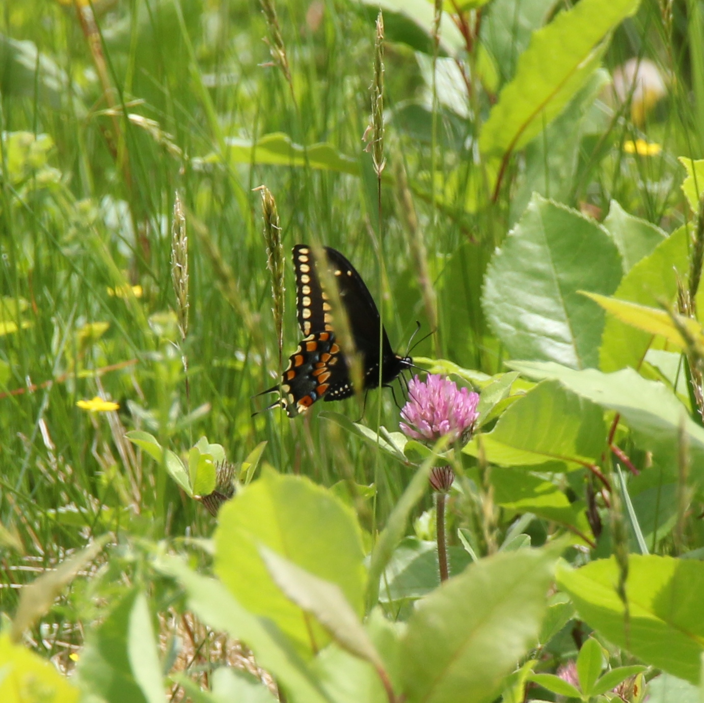
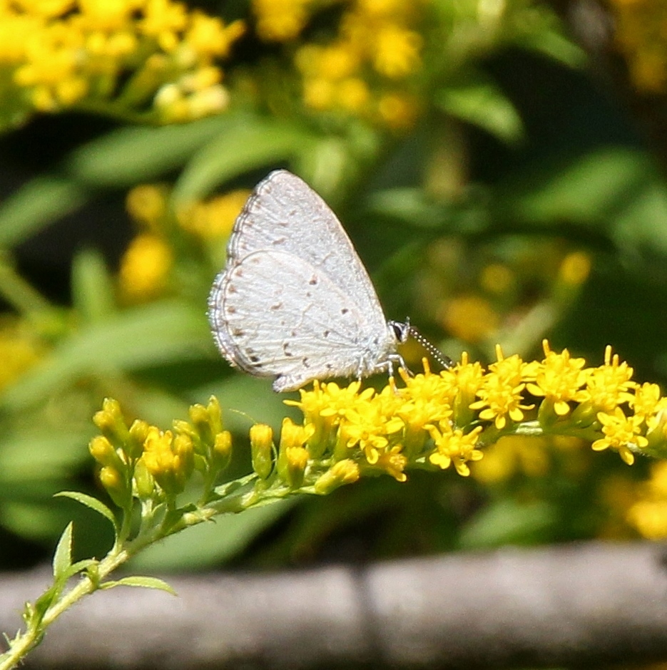
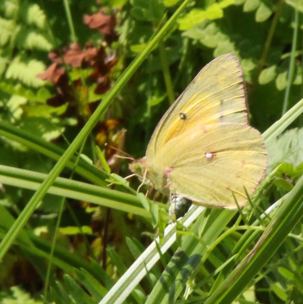
As the spring songbird migration winds down and the butterfly migration picks up, there are some prime viewing sports right in Hanover! The Trust for Public Lands has put together a list of butterfly hotspots across the country including the Mink Brook Community Forest and Hudson Farm! Both spots contain open wildflower-filled meadows that are prime habitats for these pollinators.
Read the full article here
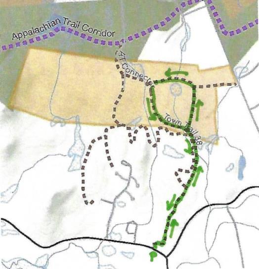
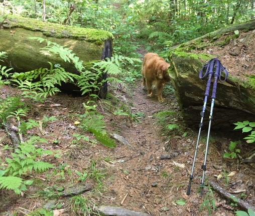
 This is a mostly easy hike with a few short steeper sections and some with tricky footing among roots or rocks. The route is well-blazed and signed.
BRIEF HIKING DIRECTIONS
FULL DIRECTIONS
 5 minutes’ walk brings you to the top of the rise and a brown/yellow trail sign where two mown paths meet. Look back at R – easily visible is a white 20th century home built as a country retreat by retired architect Archer Hudson. Beyond another hedgerow stood the Adams Farm house from 1790 until 2024, a former tavern and home of the family that once owned the former farmland you are exploring now. Hudson purchased land that included the Adams barn – and then burned it down. Dartmouth College later bought the property and carved off his house for resale. While the College referred to it as the “Hudson Farm,” the land ceased to be farmed when Hudson arrived.
 Their bee pollinators must muscle their way inside to gather their nectar.
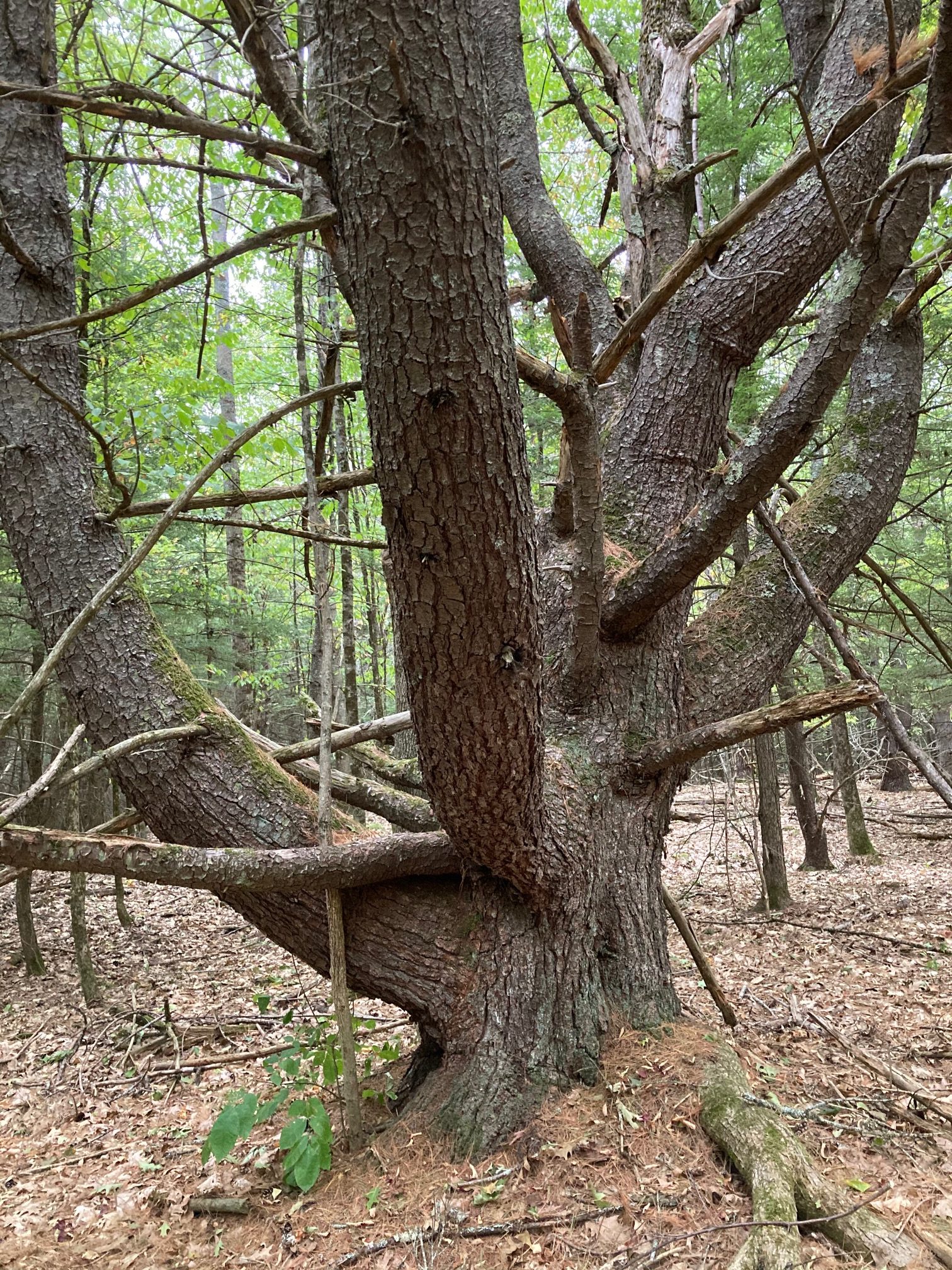 Turn R onto the famed – but here quite humble – Appalachian Trail, heading gently up for 7 minutes to the top of a low ridge. Stop here and note the big old “wolf pine” at L, a pretty impressive character. The growing tip of such a white pine was damaged early in its career, which let side branches develop into competing leaders. No longer valuable for timber, such pines were often left to provide shade for grazing animals – and to spook hikers.
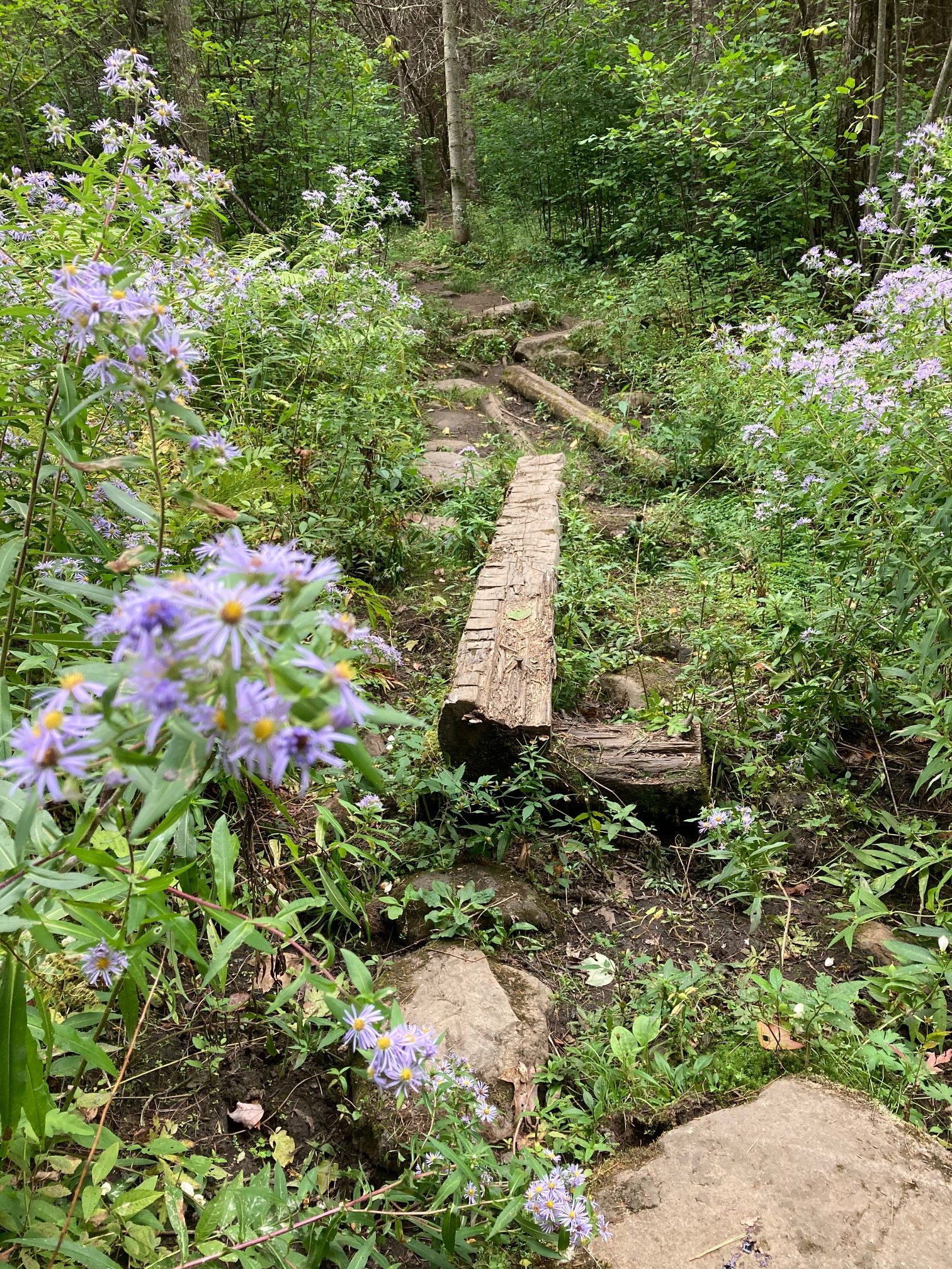 4 minutes later, cross another small wetland decorated with asters and turtlehead.
 The trail bears L, arriving at an interesting intersection of stone walls that once must have divided pastures. The AT follows one on your L – note some venerable sugar maples lining it. As the trail rises, this wall becomes even more impressive, nearly reaching chest height. We can’t resist sharing here that in 1870, a government agency estimated that over a quarter million miles of drylaid stone wall had been built in New England and New York, most during a few decades in the early 19th century during the Sheep Craze. Recently, NH’s State Geologist has worked with area volunteers and UNH to create a citizen-based, on-line stone wall mapping tool using LiDAR maps. You can visit this site to see the stone walls you’re “collecting” on this hike (shown in pink on the image), and visit your own home area to see what other walls might exist nearby.
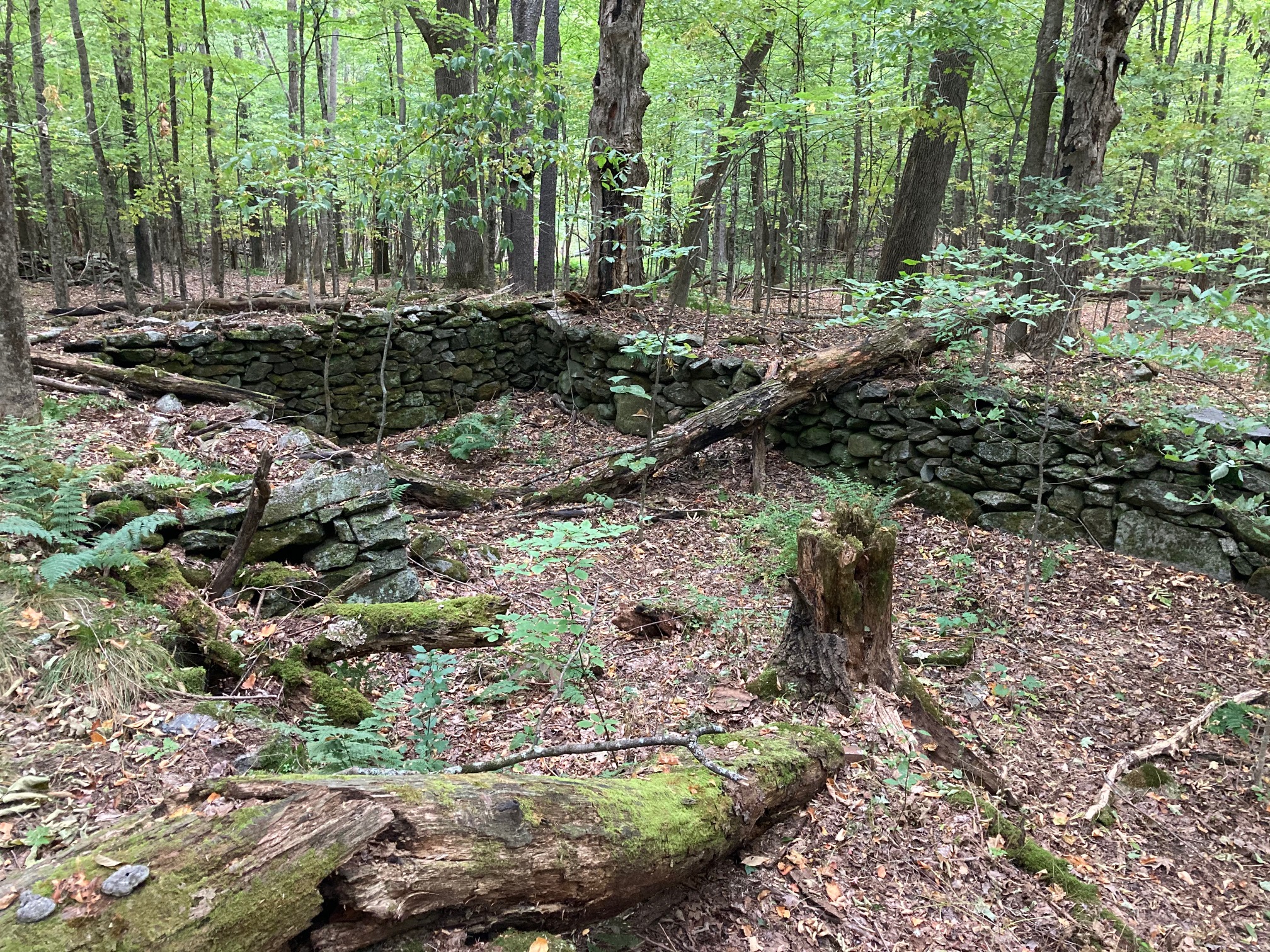
 At Ruddsboro Road, a beautiful stone wall (the 13th or 15th?) creates a centuries-old hypotenuse between the roads. This scenic triangle has been protected by the Town of Hanover. It is part of nearby Mink Meadow Farm, home to a long-time Etna farm family. On one side of the historic Yankee-style barn is the foundation of an old silo – on the other, a tiny former milkhouse that now boasts refrigerated eggs and farm-grown vegetables.
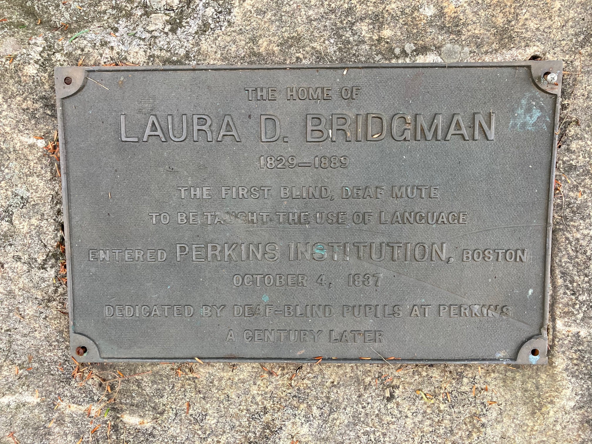 At R is the white 1767 Bridgeman House; the earliest part of this home is likely the middle section with the chimney. Take a moment to read the plaque mounted on the nearby stone. A tributary of Mink Brook passes behind the home and under the road.
 Road. Gifts in her memory allowed the creation of this trail in 2017.10 minutes from the start of Audrey’s Trail, arrive at Woodcock Lane. Turn R toward the lane’s end and L at a sign just before the driveways. Be sure to keep your dog leashed, and please pick up after it.
This Hanover Hike of the Month has been generously sponsored by…
 Driving Directions
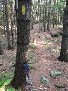 Don’t be dismayed by the steep path that suddenly appears– the rest of the hike is gentle and rolling. Follow the yellow blazes into the woods.
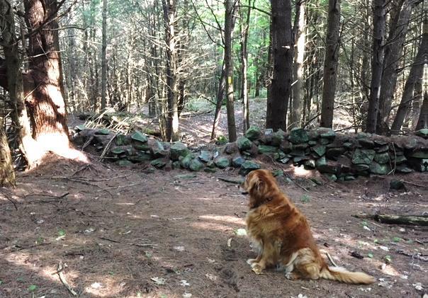
 Seven minutes’ walk from the trail junction, you pass through a slot in the fallen bole of a big pine, nearly 3 feet through. That’s big – but trace it back to where it fell – it was once part of a massive ring of three trunks! These softwoods grow more quickly than hardwoods like maples and oaks, so despite its imposing size, it’s likely younger than most of the hardwoods.
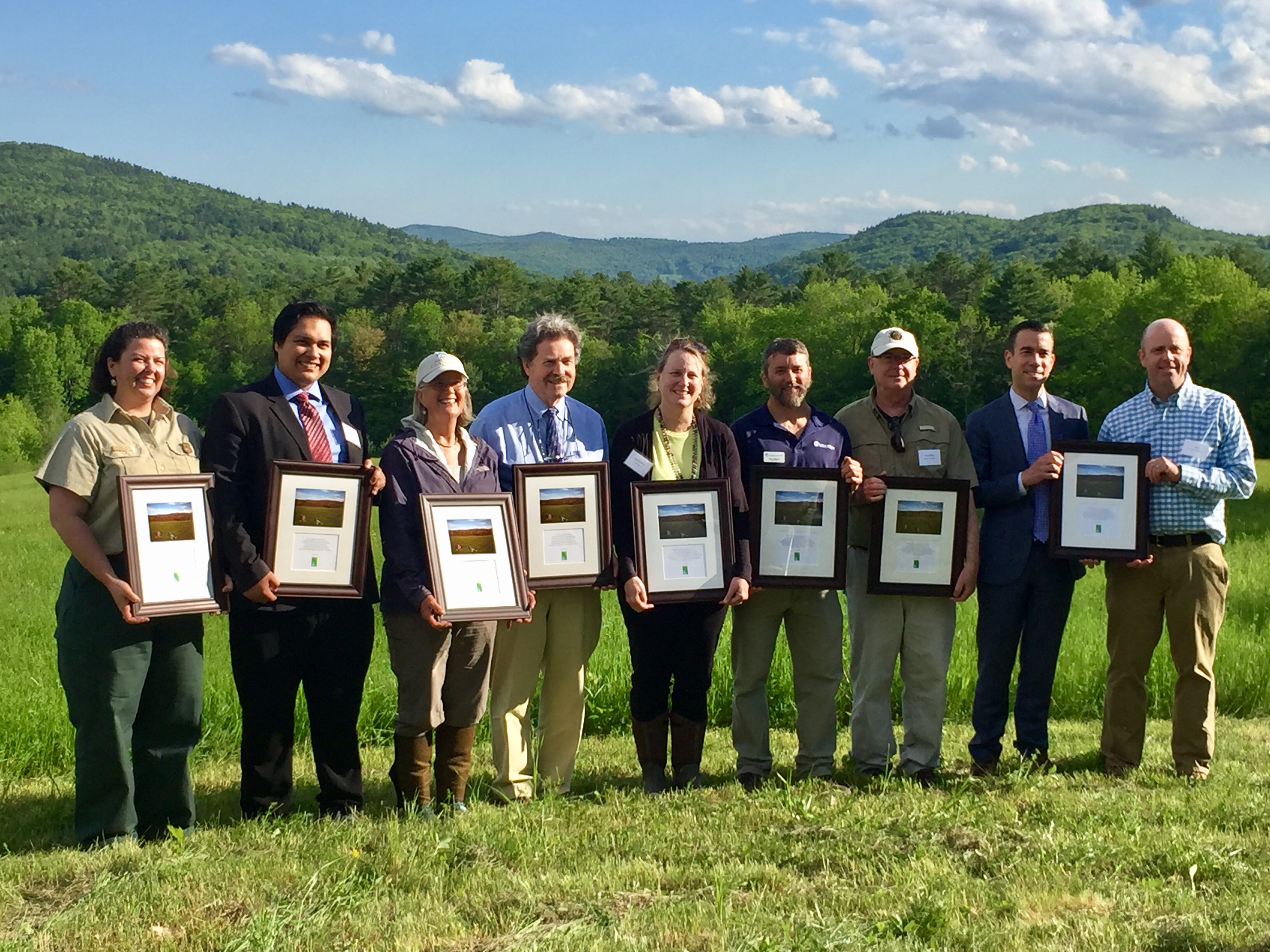 In June, 2017, this was the site of a grand celebration. A partnership between the Trust for Public Land and the Town of Hanover, assisted by the Hanover Conservancy, resulted in purchase of the 175-acre Hudson Farm by the National Park Service to permanently protect it as part of the Appalachian Trail corridor. In addition to major federal funding, many local contributions made this possible, including a major contribution from the Hanover Conservancy to help with caring for the land into the future.
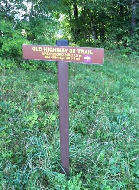
8/30/2018
 Driving Directions
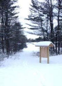 The Appalachian Trail Conservancy manages care of the land. Trails on the property are maintained by Berrill Farm neighbors and Hanover Trails Committee volunteers. The beautiful meadows will be kept open for their spectacular views and grassland bird habitat.
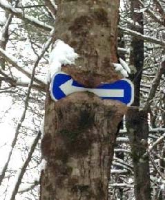 errill Farms. Above to the L, a tree seems to be gnawing on a blue arrow. Ahead at R, another tree has made less progress consuming its arrow sign. Bear R here and follow the arrow and blue-blazed trail downhill past a large old wolf pine at R.
updated 9/1/2020


